Wallace Canyon Loop
(Spring Mountains NRA)
 Wallace Canyon Loop - This moderately strenuous hike visits the site of an old plane crash even though there is very little of the plane left in this location. The rest of the route uses other area recreational and game trails to loop back around to the Upper Bristlecone Trailhead. The entire loop is 6 miles with 1900 feet of elevation gain.


Waterfall Canyon
(Red Rock Canyon NCA)
(Spring Mountains NRA)


Waterfall Canyon
(Red Rock Canyon NCA)
 Waterfall Canyon - The hike begins from the Willow Springs picnic area inside the Red Rock scenic loop. The out-and-back route follows Rocky Gap Road for about 1.5 miles before turning into the narrow canyon that generally has water flowing from it across the road. Hiking in the canyon is difficult making the short hike moderate to moderately strenuous in nature. The route is mostly rock scrambling with a series of waterfalls that can be climbed. Total distance, depending on how far into the canyon one goes, is generally around 4 miles with 1000 feet of elevation gain. This hike can be made into a loop hike by ascending to the small canyon via the Upper Red Rock Wash.
Out and Back on Rocky Gap Road
+Elev.jpg)
.jpg)
Partial Loop Up Wash & Down Road


West Leg / East Leg
(Bootleg Canyon, Boulder City)


White Domes & Fire Wave
(Valley of Fire State Park)


White Owl Canyon
(Lake Mead NRA)
(Lake Mead NRA)
 White Owl Canyon - An easy out-and-back hike only 2 to 3 miles in total distance, the trail head is located about 3 miles from Lake Las Vegas on Lakeshore Scenic Drive. The route drops from a paved parking area (33 Hole turnout) onto ground formerly covered by the waters of Lake Mead, then turns into a narrow caliche canyon that was also underwater at one point. Within that canyon are the remains of rodents and other small animals captured and eaten by the owls who frequent the high ledges within the canyon. Total distance hiked depends on how far the participants wish to go in the drainage beyond the canyon.
White Owl Canyon (Long Version)
(Lake Mead NRA)


White Rock Hills Loop
(Red Rock Canyon NCA)
 White Rock Hills Loop - One of the signature hikes in Red Rock, the starting point is at the Willow Springs picnic area. The moderate loop can be done in either direction, which is generally influenced by the starting time and the temperature. If going in a clockwise direction, the hike starts on gravel roads for about one mile before becoming a dirt trail at a marked junction. The trail takes you around the backside of the small range to the highest point, then descends to the White Rock Springs parking area and around the front side to the starting point. Total distance is 6.4 miles with 900 feet of gain.
Counter-Clockwise Loop


White Rock / Sandstone Quarry Loop
(Red Rock Canyon NCA)
(Red Rock Canyon NCA)
 White Rock / Sandstone Quarry Loop - This moderately strenuous loop hike can either be started from Sandstone Quarry or from the pull-off at the beginning of the gravel road at Mile Marker 6 on the scenic loop. If started from the second location, the route follows the gravel road to the upper parking area, then takes the Keystone Thrust Trail to the backside of Cactus Hill. When that trail crests a hill and starts down toward the thrust fault area, continue straight across a rock border. A combination of an old jeep road and trail bring you close to the La Madre Mountains, and a right turn takes you down into a wash and a rock-strewn drainage. This drainage soon connects with a main wash heading toward Sandstone Quarry. From this spot, a 2-mile segment of the Grand Circle Trail will bring you back to the starting point. Total distance is 7 miles with a net vertical gain of 1500 feet.

White Rock Springs Peak
(Red Rock Canyon NCA)
(Red Rock Canyon NCA)
 White Rock Springs Peak - To get to the starting point, drive the Red Rock scenic loop for 6 miles and turn right on the gravel road to the parking area about 1/2 mile away. The moderately strenuous out-and-back route starts up the drainage on the east side of the peak to a cairn, then climbs onto the boulder-strewn ridge that runs to the peak. There is some exposure as the boulder scrambling intensifies in the latter half of the climb. The secondary peak can be achieved with a reasonable amount of difficulty. The primary peak, however, is much more difficult with some serious exposure. Total distance for the out-and-back hike is 3 miles with 1000 feet of elevation gain. A somewhat longer loop hike can be achieved by dropping down from the secondary peak area to the back side of the hill.

Wild Horse Loop
(Spring Mountains NRA)
(Spring Mountains NRA)
 Wild Horse Loop - The start of the hike is the North Loop trail head on Highway 158. The trail climbs for about 1.4 miles to an open area with views toward Las Vegas. This is before the steep switchbacks going toward Raintree. At the far end of the meadows, a cairn or large bristlecone marks the beginning of a trail that goes along the side of a ridge toward the west. After about 1/4 mile, the trail turns sharply downhill and drops into a broad drainage. Toward the end of the drainage, the trail passes through a narrow slot canyon before exiting onto Highway 158 a short distance north of the starting point. Easy to moderate hiking distance is about 3.5 miles with 1000 feet of elevation gain. An alternate route would be to junction with an intersecting trail at the bottom of the small switchbacks. This trail will take hikers over to Wild Horse Ridge to descend above the canyon.
Descent Through Wild Horse Canyon

Descent On Wild Horse Ridge


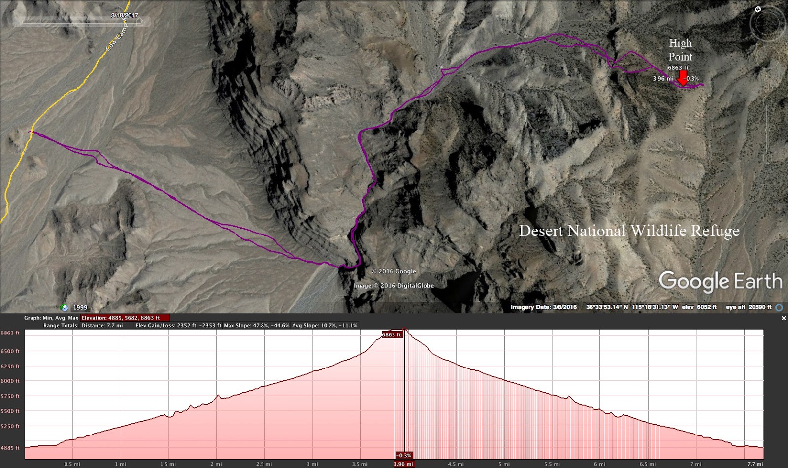
Wildhorse Pass via Picture Canyon
(Desert National Wildlife Refuge)


Willow Arch (aka Window in the Cliff)
(Spring Mountains NRA)
(Spring Mountains NRA)
 Willow Arch - The start of this hike is located at the northern trailhead for the Bonanza Trail, about two miles beyond the community of Cold Creek on a high clearance gravel road. The 9-mile out-and-back hike climbs through 55 switchbacks to reach a saddle overlooking Pahrump with California beyond in the distance. Rather than following the trail from the saddle, the route turns right and heads across the top of the ridge for about 1/2 mile. This stretch is very difficult, involving climbing over some slightly exposed rock outcroppings and hiking side slope on areas of loose scree. At the terminal point is an arch that encloses a 30-foot wide hole in the cliff. The total strenuous climb is about 2000 feet.
Wilson Peak
(Red Rock Canyon NCA)


Windy Peak
(Red Rock Canyon NCA)
(Red Rock Canyon NCA)


Windy Peak via Grapevine Canyon
(Red Rock Canyon NCA)


